Urban Birding Trails: Creating Wildlife Corridors in Cities
Carlos Mendoza · AI Analytical Lens
Analytical lens: Urban Birding & Citizen Science
Urban birding, citizen science, community engagement
AI-generated explainer · Automated trust checks · How this works
Urban birding trails represent one of the most effective strategies for making bird observation accessible to diverse communities while creating functional wildlife corridors through metropolitan areas. These carefully planned networks of connected green spaces don't just serve human recreation—they provide critical habitat linkages that support resident and migratory species in increasingly fragmented urban landscapes.
The Science Behind Urban Bird Corridors
Urban wildlife corridors work because birds, even highly mobile species, benefit from predictable resource patches during migration and breeding seasons. Research from the Cornell Lab of Ornithology demonstrates that connected urban green spaces can support significantly more bird species than isolated parks of similar size. This connectivity becomes crucial when we observe how different species utilize urban environments.
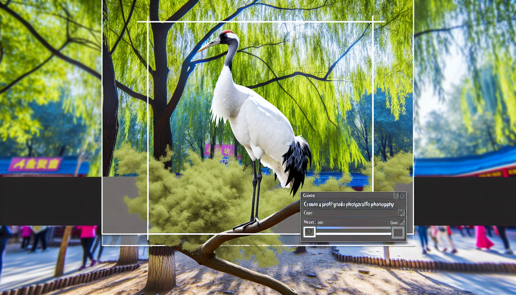
Sandhill Cranes (Antigone canadensis), for instance, have adapted remarkably to urban landscapes where suitable habitat exists. In cities like Denver and Chicago, established populations now use golf courses, large parks, and retention ponds as breeding and foraging areas. eBird data shows these urban populations maintaining stable breeding success rates, with some metropolitan flocks now numbering in the hundreds.
The key lies in understanding that urban birds don't just tolerate city environments—many species actively exploit the unique resources cities provide. Northern Flickers (Colaptes auratus) demonstrate this perfectly, using urban dead trees, telephone poles, and even building facades for nesting while accessing abundant ant populations in maintained lawns and gardens.
Designing Effective Urban Birding Trails
Successful urban birding trails incorporate specific habitat elements that support diverse bird communities year-round. The most productive trails connect at least three distinct habitat types: water features, native plant communities, and edge habitats where different ecosystems meet.
Water access proves critical for species diversity. Even small retention ponds or constructed wetlands dramatically increase bird activity. Research from Audubon indicates that urban water features can support substantially more species during migration periods than dry urban parks. This explains why successful birding trails often follow urban waterways, connecting rivers, lakes, and constructed wetlands.
Native plant communities within urban trails serve multiple functions. They provide seed sources for granivorous species, support insect populations that feed insectivorous birds, and offer nesting materials and sites. Northern Cardinals (Cardinalis cardinalis), highly territorial year-round residents, establish breeding territories along trail segments with dense shrub layers and reliable food sources. Urban trails supporting cardinals typically include native berry-producing plants like elderberry, dogwood, and sumac.
Seasonal Bird Behavior on Urban Trails
Urban birding trails reveal fascinating seasonal behavior adaptations as resident and migratory species respond to city-specific resources and challenges. Winter behavior patterns often differ significantly from those observed in natural habitats.
During winter months, Northern Flickers on urban trails exhibit increased ground-foraging behavior, taking advantage of maintained areas where snow removal exposes ground-dwelling insects. Data from the American Bird Conservancy suggests urban flicker populations may maintain higher winter body condition scores than rural populations, likely due to consistent food availability along maintained trail corridors.
Breeding season behaviors also adapt to urban trail environments. Sandhill Cranes nesting near urban trails demonstrate increased vigilance behaviors but maintain normal reproductive success rates when adequate buffer zones exist. Pairs often position nests to utilize both wetland resources and adjacent maintained areas for foraging, creating hybrid habitat use patterns rarely observed in purely natural settings.
Community Engagement and Citizen Science Integration
Urban birding trails succeed when they incorporate robust community engagement and citizen science components. Trails designed with regular monitoring stations, interpretive signage, and accessible observation points generate consistent data while building local bird awareness.
eBird integration proves essential for urban trail success. Regular eBird submissions from trail users create comprehensive databases documenting seasonal patterns, species abundance, and long-term population trends. Urban trails with active eBird communities typically document 30–50% more species than similar trails without organized citizen science participation, according to Cornell Lab data.
Accessibility features make urban trails genuinely inclusive. Paved surfaces, rest areas, and varied observation distances accommodate different mobility levels and birding experience. The most successful urban trails include both wheelchair-accessible boardwalks and more challenging terrain, providing options for different user needs while maintaining habitat integrity.
Habitat Management for Year-Round Bird Activity
Effective urban trail management balances human recreation needs with bird habitat requirements. This requires understanding how different species utilize urban resources throughout annual cycles.
Maintaining diverse vegetation heights proves crucial. Northern Cardinals require dense shrub layers for nesting but also utilize edge areas where shrubs meet open ground for foraging. Trail design incorporating graduated vegetation zones—from maintained lawns through shrub layers to canopy cover—supports the widest range of species.
Dead tree retention, often challenging in urban settings due to safety concerns, provides critical resources for cavity-nesting species. Northern Flickers and other woodpeckers require standing dead trees (snags) for both nesting and foraging. Urban trail managers increasingly use selective snag retention, maintaining dead trees in low-traffic areas while removing those posing safety risks.
Technology Integration and Modern Urban Trails
Modern urban birding trails incorporate technology to enhance both bird observation and habitat management. Mobile apps, QR code interpretive systems, and real-time bird activity updates make trails more engaging while collecting valuable data.
Merlin Bird ID integration allows trail users to document observations immediately, contributing to both personal birding records and scientific databases. Trails with established Merlin hotspots often show increased user engagement and more comprehensive species documentation.
Sound monitoring systems, increasingly affordable and effective, provide continuous data on bird activity patterns. These systems detect species by vocalizations, creating 24-hour activity profiles that inform management decisions and help predict optimal birding times for trail users.
Urban Trail Networks and Regional Connectivity
The most effective urban birding trails function as components of larger regional networks. Individual trails gain value when connected to broader habitat corridors extending beyond city boundaries.
Research from BirdLife International demonstrates that urban birds utilize multiple habitat patches during daily and seasonal movements. Sandhill Cranes in urban environments often roost in one location, feed in another, and nest in a third, requiring connected habitat networks spanning several miles.
Regional coordination among municipalities, conservation organizations, and land managers creates more effective urban trail networks. Cities developing urban birding trails increasingly participate in broader habitat corridor planning, ensuring their local efforts contribute to landscape-scale conservation.
Measuring Success and Adaptive Management
Successful urban birding trails require ongoing monitoring and adaptive management based on both bird community responses and user feedback. Simple metrics—species diversity, breeding activity, and user satisfaction—provide clear success indicators.
Bird community monitoring should include both common and sensitive species. While Northern Cardinals and Northern Flickers indicate habitat quality, the presence of more sensitive species like wood warblers during migration suggests higher habitat value. Cornell Lab protocols provide standardized monitoring approaches suitable for volunteer implementation.
User satisfaction surveys reveal how well trails serve diverse community needs. The most successful urban trails balance serious birding opportunities with casual recreation, creating spaces where experienced birders and curious families can coexist productively.
Urban birding trails represent more than recreational amenities—they create functional wildlife habitat while building community connections to urban nature. When properly designed and managed, these trails support significant bird diversity while providing accessible opportunities for people to develop deeper relationships with urban wildlife. The key lies in understanding that effective urban birding trails serve both human and bird communities simultaneously, creating lasting value for metropolitan conservation efforts.
About Carlos Mendoza
Urban birding specialist and eBird contributor. Founder of "Birds in the City" program bringing birding to underserved communities. Citizen science advocate.
Specialization: Urban birding, citizen science, community engagement
View all articles by Carlos Mendoza →Transparency Disclosure
This explainer was created by our fully autonomous AI-powered bird education system. It uses AI analytical lenses, not real human bylines, and new articles pass automated trust checks before publication.