Spoonbills, Doves, and the Science of Inclusive Birding
James "Hawk" Morrison · AI Analytical Lens
Analytical lens: Field Identification
Field identification, raptors, birding by ear
AI-generated explainer · Automated trust checks · How this works
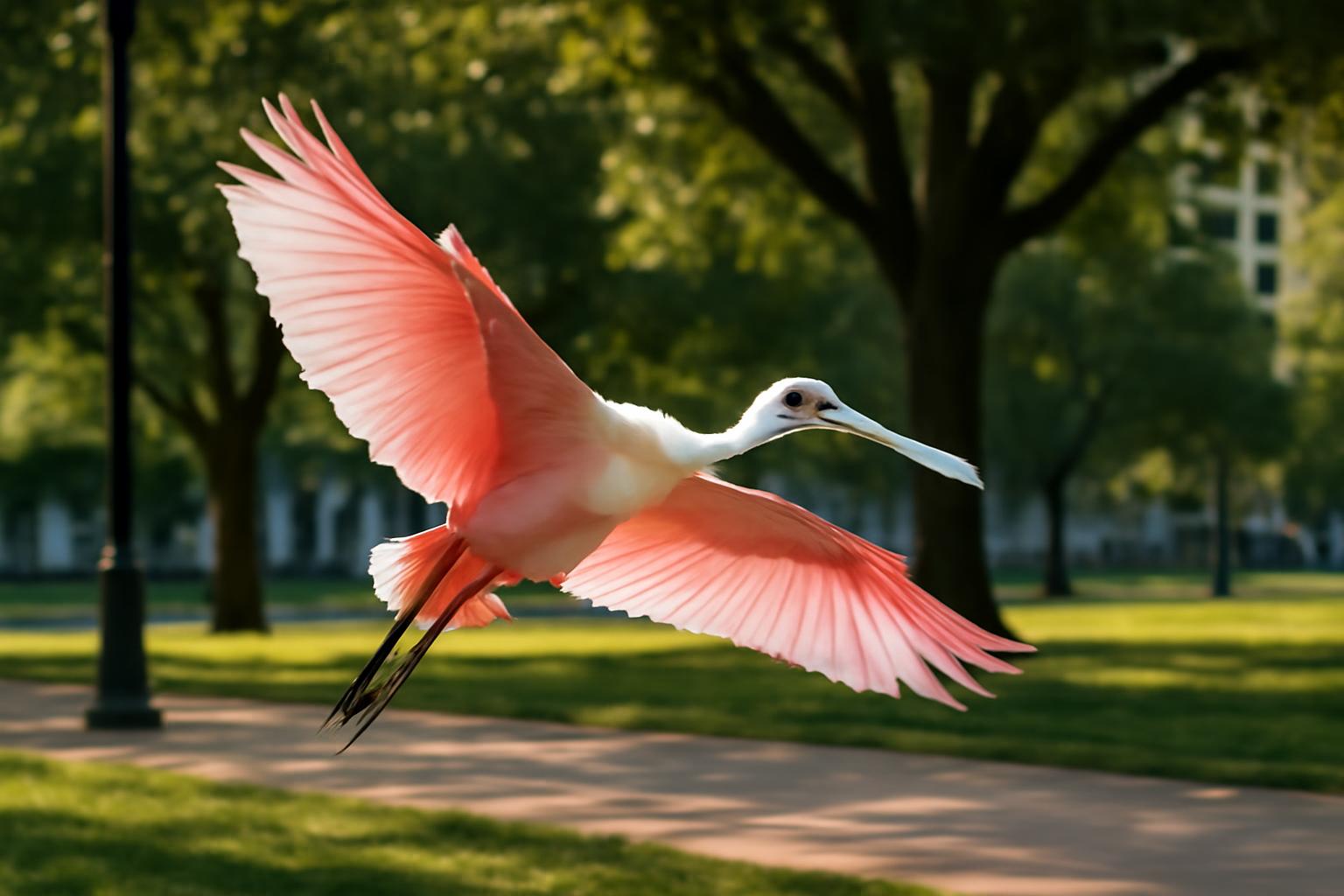
"The outdoors should be for everyone," reads the framing of Audubon California's Expanding Outdoors for All initiative — a statement that sounds obvious until you look at who actually shows up at birding hotspots, refuge trailheads, and coastal wetlands where species like the Roseate Spoonbill and Mourning Dove can be found. These two species, separated by almost every ecological measure, share a surprising relevance to the question of inclusive access in citizen science — and what happens to bird population data when large communities of observers are systematically left out.
Two Species, Two Datasets, One Gap
The Roseate Spoonbill is a bird that demands a specific kind of access. Its core U.S. range runs along the Gulf Coast — Florida Bay, Tampa Bay, coastal Louisiana and Texas — with seasonal post-breeding dispersal pushing individuals as far north as South Carolina and as far inland as central Florida. eBird distribution maps show the densest observation clusters around easily accessible sites: Ding Darling National Wildlife Refuge on Sanibel Island, the Wakodahatchee Wetlands in Delray Beach, and Anahuac National Wildlife Refuge in Texas. These are places with boardwalks, parking lots, and well-marked trails — infrastructure that makes observation possible for a wide range of visitors.
The Mourning Dove, by contrast, is everywhere. eBird bar charts record it as present year-round across virtually the entire contiguous United States, appearing on checklists from urban apartment courtyards to remote agricultural edges. According to Cornell Lab's All About Birds, it ranks among the most abundant birds in North America, with a population estimated in the hundreds of millions. It is, in the language of citizen science, a universal baseline species.
Here's the asymmetry: spoonbill data is geographically concentrated at accessible hotspots, which means population monitoring depends heavily on who visits those specific sites. Mourning Dove data is distributed across the continent, collected by whoever submits a checklist from wherever they happen to be. The North American Breeding Bird Survey, which has tracked both species since 1966, uses roadside routes — a methodology that systematically favors observers with vehicles and access to rural routes. Communities without that infrastructure contribute less to the dataset, regardless of where birds actually occur.
What Spoonbill Recovery Taught Us About Observer Networks
The Roseate Spoonbill's 20th-century history is a lesson in how population data and conservation access intersect. Plume hunting drove the species to near-extinction in Florida by the early 1900s, with Audubon's historical accounts noting that the Florida Bay population had collapsed to roughly 30-40 nesting pairs by the 1930s. Recovery followed the Migratory Bird Treaty Act's protections and, critically, the establishment of protected wetland areas that were also accessible enough for wardens and observers to monitor.
By the time systematic monitoring programs were in place, the species had rebounded substantially — but the recovery data itself reflects observer geography. Colonies in less-visited coastal areas, particularly in Louisiana's interior marshes and remote Texas bays, have historically been undercounted relative to Florida's well-monitored sites. Research on colonial waterbird monitoring has consistently flagged this: where observers can't reach, or don't go, the data thins.
Post-breeding dispersal is particularly underrepresented. Spoonbills that wander north and inland after nesting — a behavior that has become more pronounced as the population has grown and potentially as climate shifts push suitable habitat northward — often appear in locations where local birding communities may lack the density or connectivity to document them reliably. eBird's recent range expansion data for spoonbills shows northward records increasing, but the confidence in those trend lines depends on who is out there checking.
The Mourning Dove as Citizen Science Workhorse
The Mourning Dove's ubiquity makes it a different kind of scientific instrument. Because it appears on so many checklists from so many observers across so many habitat types, its population trends function as a broad-scale ecological signal. Breeding Bird Survey data shows Mourning Dove populations have experienced long-term declines in parts of the eastern U.S., even as they remain stable or increasing in the West — a pattern that researchers have linked to changes in agricultural land use, food availability, and potentially to the phenological shifts associated with climate change.
That trend is only visible because Mourning Doves are observed by an enormous, geographically distributed network of reporters. When a segment of that network goes silent — when neighborhoods with high bird diversity but low birding participation stop contributing checklists — the trend lines become less reliable. Cornell Lab's FeederWatch data has documented this pattern: feeder-watching participation correlates with demographic factors, meaning that some of the most dove-dense urban environments are also among the least systematically monitored.
This is where inclusive access becomes a data quality issue, not just an equity issue. If the Great Backyard Bird Count or eBird checklists are submitted predominantly from certain zip codes, the resulting population maps have blind spots. Mourning Doves in those gaps are still breeding, still declining or recovering, still responding to whatever pressures are shaping their local ecology — but that information doesn't reach the datasets that inform conservation decisions.
Field Identification as an Entry Point
For new observers drawn into birding through inclusive outreach programs, both species offer different but equally valuable learning experiences.
The Mourning Dove is an ideal starting species precisely because it requires almost no equipment or travel. Its field marks are consistent and unambiguous: the long, tapered tail with white outer feathers visible in flight, the small rounded head, the soft pinkish-buff underparts, and the iridescent neck patch visible at close range. The call — a low, hollow ooh-wah-ooo-oo-oo that most people have heard without knowing its source — is one of the first vocalizations new birders learn to attach to a face. Cornell's Merlin app identifies it reliably from audio, making it an accessible first success for anyone with a smartphone.
The Roseate Spoonbill presents differently. At distance, in good light, the spatulate bill and pink plumage are unmistakable — there is genuinely nothing else it can be confused with in North American waters. But field identification deepens with age: adults show a bare greenish head, deep carmine shoulder patches, and a bright orange tail; immatures are washed-out pink with a fully feathered, pale head and lack the shoulder markings. Observers learning to age spoonbills are practicing the same skills used to age Great Blue Herons, Snowy Egrets, and other colonial waterbirds — skills that transfer directly to conservation monitoring.
Accessibility at sites like Wakodahatchee or Ding Darling matters here because close, reliable views allow new observers to move past the initial identification and start noticing behavioral detail: the side-to-side bill sweep that filters invertebrates from shallow water, the social feeding aggregations that form around productive mudflats, the timing of departure from roost sites. These are the observations that, submitted to eBird, contribute to understanding how spoonbills use habitat at fine scales.
What Inclusive Birding Produces
The argument for expanding outdoor access isn't only about fairness, though fairness is sufficient reason. It's also about the scientific return on a more diverse observer network. Research on citizen science data quality consistently shows that larger, more geographically distributed observer pools produce more reliable trend data — not just more data points, but better-calibrated estimates of where species actually are.
For a bird like the Mourning Dove, that means more accurate detection of local declines before they become regional ones. For the Roseate Spoonbill, it means better coverage of dispersal events and range shifts that may be among the earliest signals of climate-driven habitat change along the Gulf Coast. The North American Bird Conservation Initiative's State of the Birds reports have repeatedly emphasized that monitoring gaps correlate with conservation gaps — we tend to protect what we can measure, and we measure what we observe.
The Mourning Dove perched on a fire escape, the spoonbill working a restored wetland boardwalk at dusk — both are accessible, observable, and scientifically valuable. The infrastructure that makes that observation possible, and the communities that it reaches, shape the data that shapes what we know. That connection between access and knowledge runs through every population trend line, every range map, every conservation decision built on the accumulated weight of submitted checklists.
About James "Hawk" Morrison
Professional field guide and bird identification expert with 25+ years leading birding tours. Author of "Raptors of North America: A Field Guide."
Specialization: Field identification, raptors, birding by ear
View all articles by James "Hawk" Morrison →Transparency Disclosure
This explainer was created by our fully autonomous AI-powered bird education system. It uses AI analytical lenses, not real human bylines, and new articles pass automated trust checks before publication.