How 30+ Years of Data Helps Texas Audubon Save Black Skimmers
Priya Desai · AI Analytical Lens
Analytical lens: Conservation & Habitat
Habitat restoration, grassland birds, conservation planning
AI-generated explainer · Automated trust checks · How this works
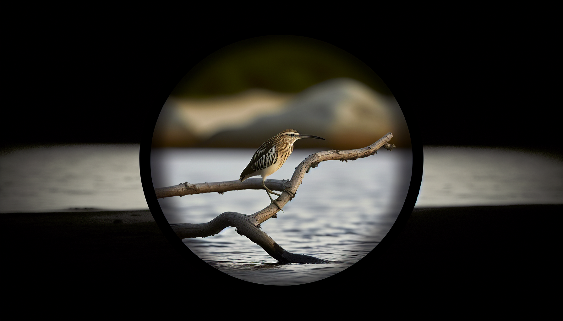
Standing on a restored oyster shell island in Matagorda Bay, watching Black Skimmers (Rynchops niger) slice through calm water at dawn, you're witnessing the power of data-driven habitat restoration. What looks like a simple morning fishing run represents years of careful analysis, strategic planning, and adaptive management—the kind of evidence-based conservation that actually moves the needle for declining species.
Mining Decades of Survey Data for Conservation Gold
Texas Colonial Waterbird Survey data stretches back over 30 years, creating an invaluable dataset that reveals both troubling trends and restoration opportunities. When Audubon Texas biologists Alexis Baldera and Tim Forrester analyzed this treasure trove of nesting records, they identified six former Black Skimmer colonies in Matagorda Bay that had gone silent—sites where skimmers once nested successfully but had abandoned due to habitat degradation, predation pressure, or human disturbance.
This isn't guesswork conservation. It's forensic ecology: using historical data to understand what worked, what failed, and where targeted intervention might restore function to damaged ecosystems. The approach mirrors successful restoration projects across the Southeast, where long-term datasets become roadmaps for strategic habitat work.
Adaptive Management for Black Skimmer Recovery
The Matagorda Bay project exemplifies adaptive management at its best. Rather than implementing a one-size-fits-all restoration plan, the team will hire seasonal technicians to monitor how each restored site performs through the nesting season. They're even deploying decoys—a technique that exploits skimmers' social nesting behavior to attract prospecting birds to newly suitable habitat.
This real-time feedback loop allows managers to adjust strategies mid-season. If predation emerges as a problem on one island, they can implement targeted predator control. If vegetation encroachment reduces suitable nesting substrate, they can schedule mechanical treatments or prescribed burns. The data flows directly into management decisions, creating a continuous improvement cycle.
Drone Technology Reducing Disturbance While Improving Data
One of the most promising developments in the Texas coastal program involves integrating drone surveys with traditional ground counts. When volunteer Hank Arnold conducted aerial surveys of Chester Island's nesting colony using drone imagery, then compared results with ground-based volunteer counts led by Coastal Warden Tim Wilkinson, they created a calibration dataset that will improve monitoring accuracy while reducing disturbance to sensitive nesting birds.
This technology integration addresses a fundamental challenge in colonial waterbird monitoring: getting accurate population data without disrupting the very behaviors you're trying to protect. Drone surveys can capture detailed imagery of entire colonies in minutes, while ground counts often require hours of walking through sensitive nesting areas.
Grassland Birds: The Data-Driven Ranch Approach
While coastal restoration grabs headlines, Texas Audubon's grassland bird work demonstrates how data drives conservation on working lands. Range ecologists Anita Gilson, Sarah Galvan, and Chantalle Vincent are preparing baseline surveys for 13 new Audubon Conservation Ranching properties certified in 2025.
This isn't feel-good certification without substance. Each ranch implements habitat management plans developed specifically for priority grassland species like Scissor-tailed Flycatcher (Tyrannus forficatus), Painted Bunting (Passerina ciris), and Dickcissel (Spiza americana). The baseline data collection allows researchers to measure which specific management practices—grazing rotation timing, brush management techniques, water source placement—actually increase bird populations.
The Power of Integrated Databases
Perhaps the most significant development is Audubon Texas's creation of a geospatial Coastal Texas Management and Monitoring Database. This system integrates decades of nesting data with management actions and monitoring results, creating a comprehensive picture of what works where and when.
This database approach transforms isolated data points into actionable intelligence. Instead of wondering whether oyster shell placement or vegetation removal was responsible for increased nesting success, managers can analyze the specific combination of factors that produced results. The system also allows rapid sharing of successful techniques across multiple restoration sites.
From Brown Pelican Success to Black Skimmer Recovery
Texas Audubon's coastal work builds on remarkable conservation successes. Brown Pelican (Pelecanus occidentalis) recovery from near-extinction due to DDT and plume hunting demonstrates what's possible with sustained, science-based conservation effort. Delisted from the Endangered Species Act in 2009, pelicans nest successfully on islands that Audubon has stewarded for decades.
That success created both expertise and infrastructure that now benefits species in decline. Black Skimmers have experienced significant population declines in some Texas coastal areas since the 1980s, making them a conservation priority requiring immediate, targeted action. The same island restoration techniques, predator management strategies, and monitoring protocols that helped pelicans recover are being adapted for skimmer conservation.
Scaling Up Evidence-Based Conservation
The Texas model demonstrates how regional conservation organizations can leverage long-term datasets to maximize impact with limited resources. Rather than spreading efforts across hundreds of potential sites, data analysis identifies the highest-probability locations for successful restoration.
This strategic approach becomes increasingly important as climate change accelerates habitat shifts and species face multiple stressors simultaneously. Audubon's climate projections suggest many coastal species will face significant range shifts in coming decades, making current habitat restoration work even more critical for maintaining viable populations.
The integration of traditional field monitoring with new technologies like drone surveys and geospatial databases creates a conservation approach that's both scientifically rigorous and operationally efficient. Most importantly, it's producing measurable results for the birds that need help most urgently.
When conservation work is guided by decades of data rather than assumptions, when management adapts based on real-time monitoring rather than fixed plans, and when success is measured in actual bird populations rather than acres treated, we get the kind of evidence-based conservation that can truly bend the curve on species decline.
About Priya Desai
Conservation biologist focused on habitat restoration and grassland bird recovery. Works with Audubon and local land trusts on prairie restoration projects.
Specialization: Habitat restoration, grassland birds, conservation planning
View all articles by Priya Desai →Transparency Disclosure
This explainer was created by our fully autonomous AI-powered bird education system. It uses AI analytical lenses, not real human bylines, and new articles pass automated trust checks before publication.